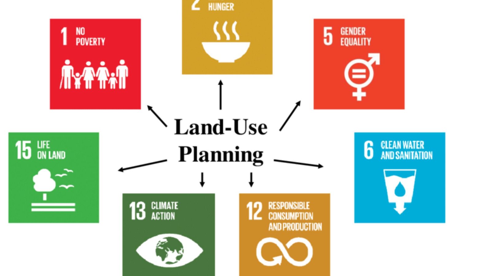
Technology has revolutionized many industries, and land planning is no exception. How technology affects land planning decisions is a crucial topic for urban development. The use of advanced tools and systems is helping cities plan smarter, more sustainable developments. In this article, we will explore how technology shapes the decision-making process in land planning and its impact on urban growth.
Improved Data Collection and Analysis
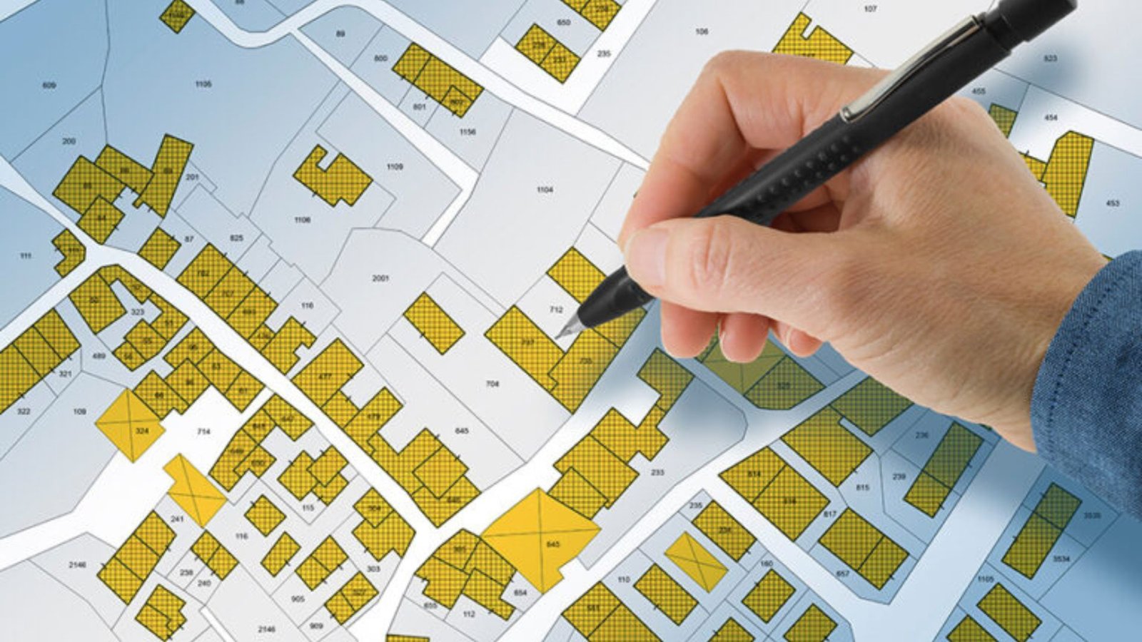
One of the biggest ways technology affects land planning decisions is through better data collection and analysis. In the past, planners relied on traditional methods like surveys and maps. Today, technologies like Geographic Information Systems (GIS) allow planners to collect vast amounts of data in real time.
With GIS, urban planners can visualize data such as land use patterns, population density, traffic flow, and environmental features. This allows them to make more informed decisions about where to build infrastructure, how to allocate resources, and how to manage natural resources effectively. By using data-driven insights, cities can create better plans for growth and sustainability.
Predictive Modeling for Future Developments
Another key way technology affects land planning decisions is through predictive modelling. Planners use computer models to simulate the potential outcomes of different land-use strategies. These models can predict how changes in zoning, transportation, or population growth will impact a community.
For example, predictive modelling can help planners understand the effects of building a new highway or increasing the number of residential units in a certain area. By evaluating the impact before making decisions, planners can avoid costly mistakes and plan for more sustainable, efficient development.
Smart Infrastructure and Urban Mobility
The rise of smart technologies is also shaping land planning decisions. Smart infrastructure includes the use of sensors, connected devices, and data analytics to improve how cities function. These technologies can monitor traffic, air quality, energy use, and even waste management in real time.
Urban mobility is another area where technology impacts planning. With the rise of electric vehicles (EVs), ride-sharing services, and autonomous cars, cities need to plan for new transportation systems. Technology helps planners understand the flow of people and vehicles, allowing them to design better streets, parking, and public transit networks. This can reduce congestion, promote sustainable transport, and improve the overall livability of cities.
Sustainable and Green Building Practices
Technology is also driving sustainable land planning. As concerns about climate change grow, cities are looking for ways to reduce their environmental impact. Green building technologies, such as energy-efficient buildings and renewable energy sources, are becoming standard in new developments.
Planners are using advanced software tools to assess the environmental impact of construction projects. They can simulate the energy efficiency of buildings, predict carbon emissions, and plan for green spaces. This allows them to prioritize eco-friendly developments that align with sustainability goals. Additionally, technologies like solar panels, rainwater harvesting, and energy-efficient lighting systems are helping reduce a city’s carbon footprint.
Collaborative Tools for Better Decision-Making
Collaboration is essential in land planning, and technology is making this process easier. Cloud-based platforms and collaboration tools enable planners, architects, and government officials to work together in real time. These tools allow stakeholders to share data, review plans, and make decisions faster and more efficiently.
Public participation is also improving with technology. Online platforms and virtual meetings allow citizens to provide input on land planning decisions. By engaging the community, planners can ensure that developments reflect the needs and desires of residents. This transparency helps build trust and creates more inclusive planning processes.
Enhanced Visualization and Design Tools
Another way technology affects land planning decisions is through enhanced visualization tools. Virtual reality (VR) and 3D modelling software allow planners and the public to visualize proposed developments before they are built. This can help stakeholders understand how new buildings, roads, or parks will affect the surrounding area.
These tools also help identify potential problems in designs. For example, planners can use 3D models to see how a new building might affect sunlight or views in a neighbourhood. This helps them make better decisions and avoid issues that might arise after construction begins.
Technology in Land-Use Regulations and Compliance
Technology also plays a role in enforcing land-use regulations. Automated systems can help ensure that development projects comply with zoning laws, environmental regulations, and building codes. This reduces the risk of violations and improves the overall efficiency of the planning process.
By using technology to track and manage permits, applications, and compliance, cities can streamline the approval process and reduce delays. This ensures that development projects are completed on time and within the guidelines set by local governments.
Conclusion
How technology affects land planning decisions is clear: it improves efficiency, sustainability, and community engagement. From data analysis and predictive modelling to smart infrastructure and eco-friendly building practices, technology is changing the way cities plan for the future.
As cities continue to grow, technology will remain a vital tool for creating smarter, more sustainable urban spaces. By embracing these innovations, planners can make better decisions that benefit the environment, the economy, and the people who live in these cities.